Guangdong, China

Luofushan to Nankunshan Loop

Published: August 25, 2026
Last ridden and road conditions checked: April 2026

Distance 165.0 km
Elevation 1124.0 m
Duration 5–6 hours
Difficulty Moderate
Surface Pavement

The Ride

Starting at the foot of Luofushan, this 165-kilometer road route heads deep into the mountains of Nankunshan before looping back through quiet villages and a winding riverside road.

From the Luofushan Scenic Area, the route passes through Henghe, Mazha and Yonghan before reaching one of Nankunshan’s roadside landmarks, locally referred to simply as “The Big Rock.” From there, we turn back toward Changtan Village and follow the river south before reconnecting with the road through Mazha and returning to the start.

Nankunshan is one of the better-known riding areas among cyclists in Guangdong. The mountains are crossed by a network of roads that can be linked into everything from shorter climbing rides to long all-day loops.

This particular route does not have a single steep signature climb. Instead, it is made up of constant rolling hills. None of the individual efforts feels especially intimidating, but over 165 kilometers—about 103 miles—they add up.

It is a long day on the bike, and pacing matters.

Chapter 01

Starting at Luofushan

We start from the Luofushan Scenic Area Tourism & Culture Plaza.

For riders driving in from Shenzhen, Guangzhou or elsewhere in the Pearl River Delta, it works well as a meeting point. When we last rode the route, the parking area had plenty of space and parking was free. There are also clean public restrooms nearby, which makes getting changed and preparing bikes relatively easy.

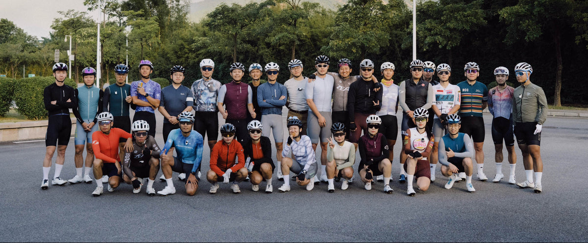
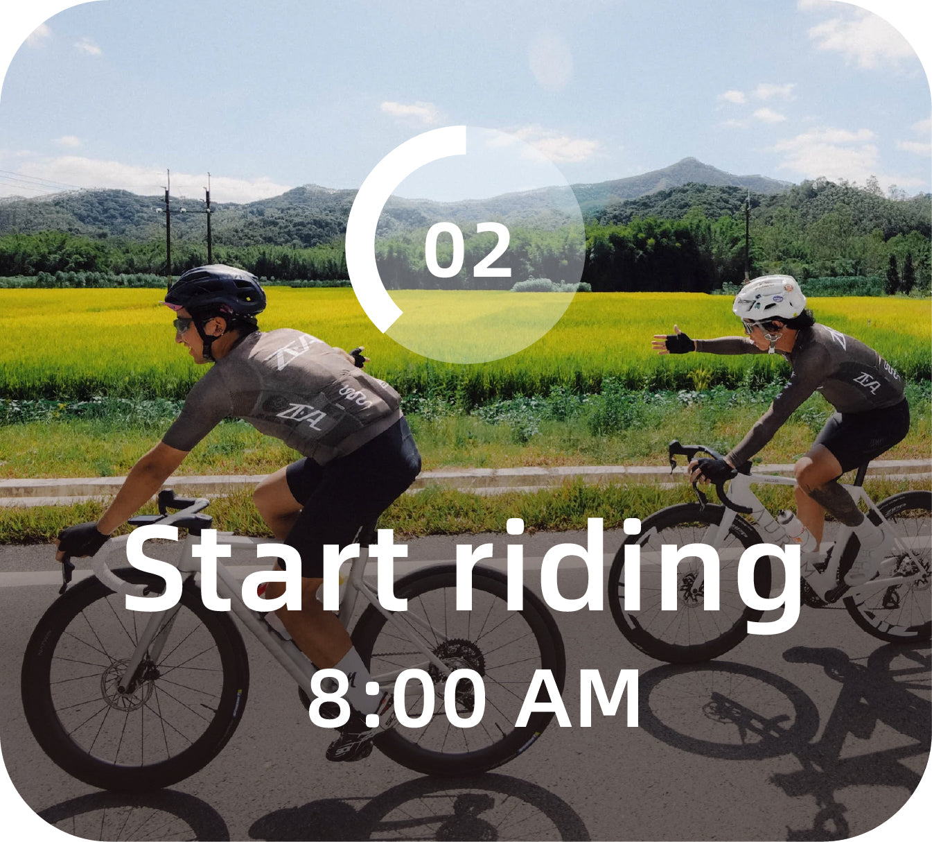
Our usual schedule is to meet around 7:30 AM and roll out at approximately 8:00 AM. That gives everyone enough time to unload bikes, check equipment and organize groups without requiring an extremely early start.

For riders coming from farther away, another option is to stay the night before in Changning, the town near Luofushan. On a ride this long, arriving rested is often more valuable than saving one night in a hotel.

Get Directions
Luofushan Scenic Area Tourism & Culture Plaza

Chapter 02

The Route

Leaving Luofushan, the route initially heads toward Henghe, then continues through Mazha and Yonghan before gradually entering the Nankunshan mountains.

There are no long sustained climbs, but the road rarely stays completely flat. Short climbs, rollers and small elevation changes slowly accumulate throughout the day. It is tempting to push the pace when everyone is fresh, but there is little benefit in arriving at the mountains already carrying unnecessary fatigue.

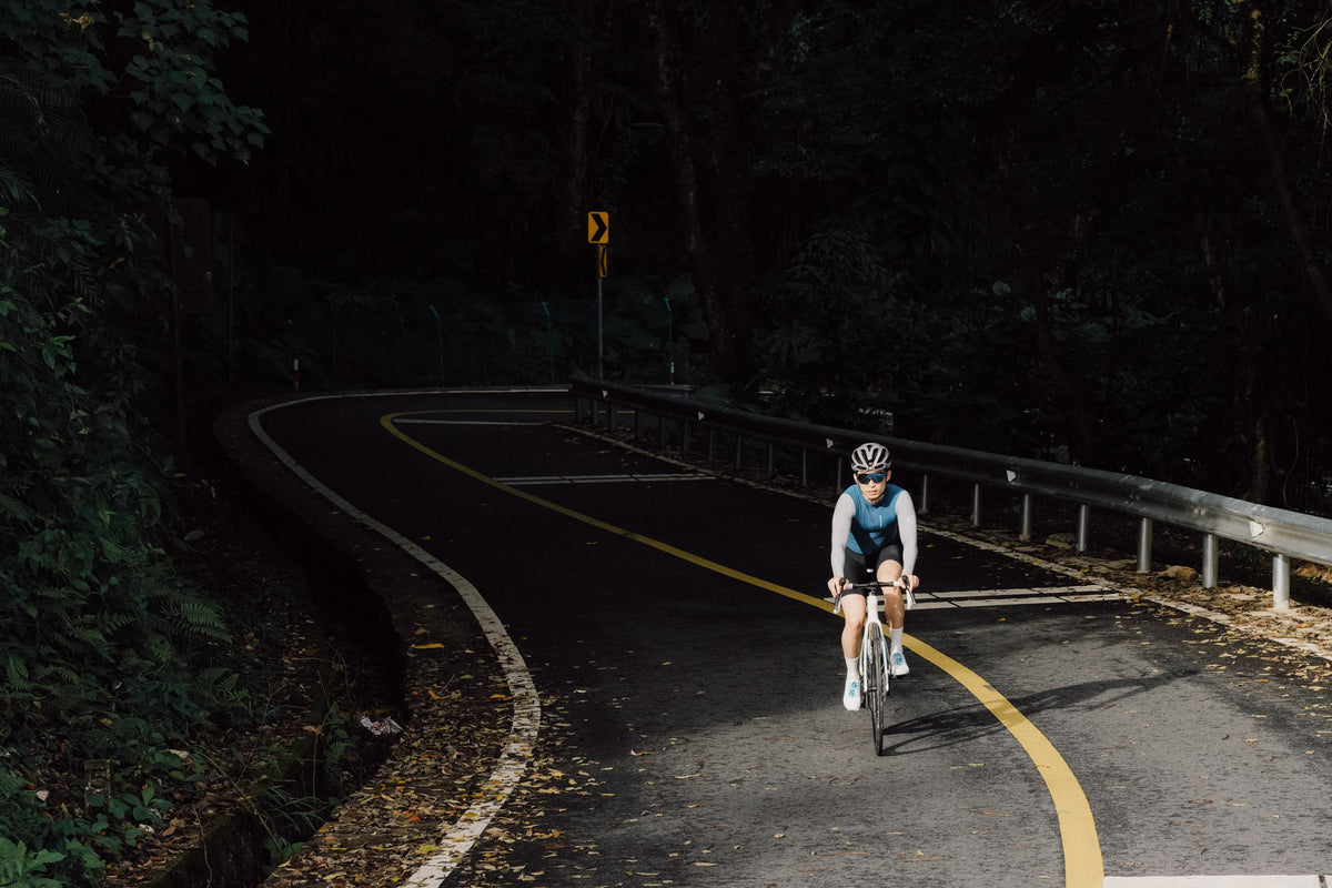
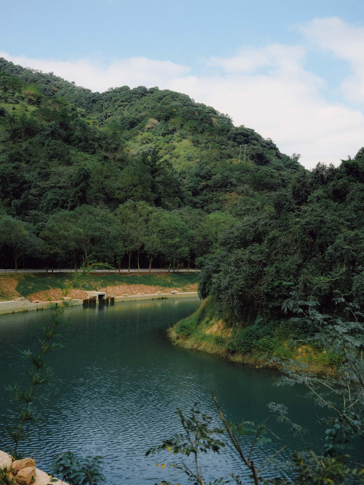
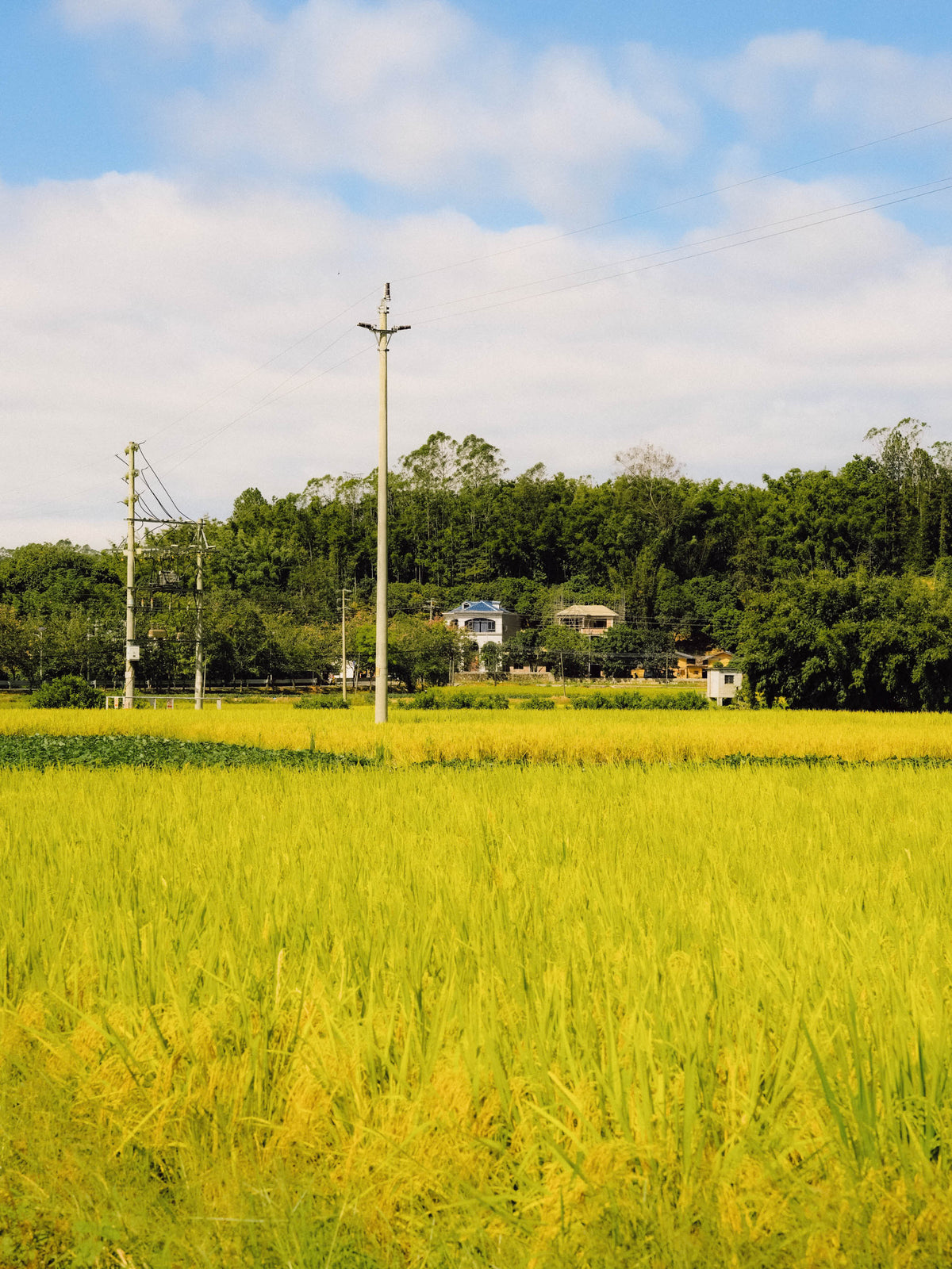
The landscape also changes as you move farther away from Luofushan. At times the road disappears beneath dense tree cover. A few kilometers later it opens into farmland and small villages. Light moves differently through each section, and the air changes with it—from damp forest to rice fields, crops, kitchens and village streets. For us, that is an important part of this route.

Chapter 03

Two Sections I Always Look Forward To

There are two parts of this ride I especially like. The first is the road between Luofushan and Mazha. The second—and probably my favorite—is the riverside section beginning around Changtan Village on the return leg.

From Changtan, the road follows the river through a series of bends, with water, mountains and the road constantly moving in and out of view. It is a type of riding that is difficult to find in the city. Every time I ride this section, I have the same conflict: part of me wants to carry speed through every corner, while another part wants to slow down enough to stay there a little longer.

It is probably the section that best explains why we keep coming back to Nankunshan.

Chapter 04

How Hard Is It?

The route is almost entirely paved and technically straightforward. The challenge comes from the distance, the accumulation of rolling terrain and the amount of time spent on the bike.

Our rough rating:

Physical difficulty 8/10

Technical difficulty 3/10

Traffic: Luofushan → Mazha 6/10

Traffic: remaining sections 3/10

Food / water / support access 5/10

This is not what we would consider an easy beginner century. Technically, the riding is relatively simple. Physically, it requires a reasonable endurance base and good pacing.

If you are already comfortable riding around 100 kilometers / 60 miles and know how to manage your food, hydration, bike handling and basic mechanical problems, the route becomes much more enjoyable. Without that experience, the final third can easily turn from exploring the mountains into simply trying to get home.

Chapter 05

Traffic and Road Awareness

The section between Luofushan and Mazha carries the most traffic.

There can be trucks and other large vehicles, and some sections have little or no usable shoulder. This is the part of the route where we pay the most attention to road positioning and group discipline.

We strongly recommend riding single file where traffic is heavier, avoiding unnecessary lane changes and giving large vehicles plenty of space.

A rear light is worth running during the daytime as well. Extra caution is also useful around blind corners, intersections and village entrances, where vehicles, scooters or pedestrians may appear suddenly. If you are unfamiliar with the road, this is not a good place to make aggressive passes simply to stay attached to a faster group.

After Mazha, traffic generally becomes much lighter and the character of the ride changes significantly. The mountains, villages and river begin to dominate the experience. Remember that the final return to Luofushan uses some of the same roads, so the higher-traffic section comes back again late in the ride—when everyone is already tired.

Chapter 06

Planning and Preparation

Food, Water and Rest Stops

Henghe and Mazha are the two most useful areas for larger resupply stops.

There are also small convenience stores in many of the villages along the route where riders can usually find bottled water, sports drinks and basic food.

We normally make two longer stops during the ride, mainly to refill bottles and take in carbohydrates and electrolytes.

——

Best Time of Year

Our favorite months for this route are generally October through December.

Temperatures are usually more comfortable than in midsummer, making long days in the mountains easier to manage. March through June can also offer good riding days, but spring and early summer in Guangdong bring more rain, thunderstorms and sudden changes in weather. July and August are typically hot and humid, with a higher chance of afternoon thunderstorms. We would avoid attempting the full route during periods of extreme heat or severe weather.

We normally aim to:

7:30 AM — Meet
8:00 AM — Start riding

Regardless of how quickly the first half goes, we recommend beginning the return from the Nankunshan turnaround by around 2:00 PM.

That leaves some margin for food stops, flats, mechanical problems, fatigue and changes in the group. If you have not reached the planned turnaround by 2:00 PM, consider shortening the route instead of chasing the GPX into the evening. The route will still be there next time.

——

Bike and Tire Setup

A standard road bike is the natural choice for this route. Because the ride is almost entirely paved, there is no need for gravel equipment.

We recommend tires in the 25–30 mm range, with 28 or 30 mm being particularly comfortable for balancing rolling speed, grip and the occasional rougher road surface.

For a full-day ride, we would carry at least:


1. Spare tube or tubeless repair kit
2. Tire levers
3. Mini pump or inflator
4. Multitool
5. Identification
6. Some cash
7. Any necessary medication

Dedicated bicycle shops are limited once you are deeper into the route. At least one person in each group should be comfortable dealing with a flat tire, dropped chain and basic roadside mechanical problems. It would be a shame to end such a good ride because of a problem that could have been fixed in ten minutes.

——

Bailout Options

The route passes through a number of towns and villages, so there are possibilities to leave the ride early if someone becomes too tired to continue or has a mechanical problem that cannot be repaired on the road. In China, riders can try using services such as DiDi or Huolala to arrange a car or van pickup.

If doing so, tell the driver in advance how many riders and bicycles need to be transported. A larger vehicle may be necessary. That said, this should be treated as a backup option rather than guaranteed support. Vehicle availability can be limited in the mountains, mobile reception may vary, and not every driver will be willing or able to carry a bicycle.

We recommend riding with other people and keeping emergency contacts saved before leaving. For serious crashes, loss of consciousness or suspected fractures, contact emergency services rather than relying on a rideshare vehicle.

——

The Nankunshan We Remember

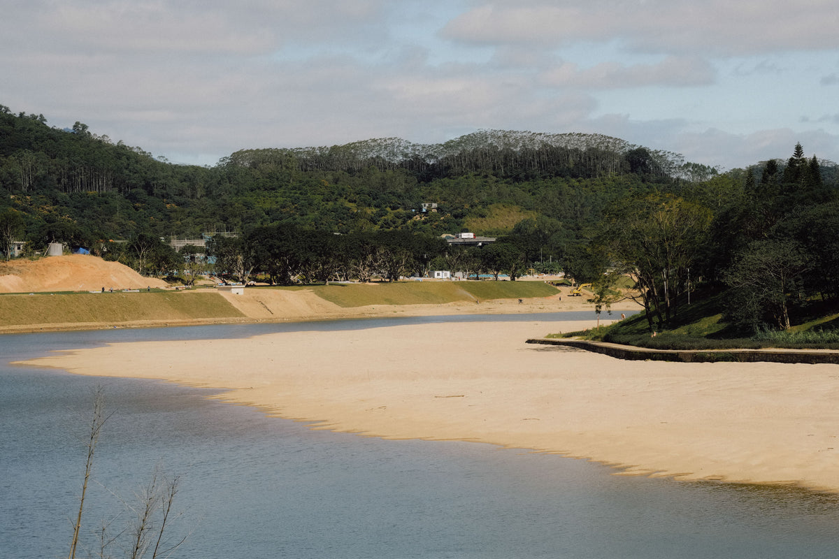
We have photographed the route over several rides: light breaking through the forest, rice fields beside small villages, the river winding through the mountains, and the quiet moments spent waiting for the rest of the group to come around the corner.

Images cannot reproduce the wind, the humidity or the smell of the forest after rain. But hopefully it can give you enough of an idea to want to see the road for yourself.

——

Before You Ride

This guide reflects our own rides and the road conditions we most recently checked in April 2026.

Before riding, we recommend confirming current weather, construction, and road conditions. You do not need to finish every kilometer for it to be a good day on the bike.

More from the Ride

Route Map

route map
Loading route map…

Luofushan to Nankunshan Loop